
Sub- and mesoscale processes in the Strait of Gibraltar:
The connection Trafalgar-Alboran
Physical oceanography dataset

|
The update of datasets available through this webpage are currently discontinued. For more info please contact 'oomteam'@'arditi.pt' |
|
|
Megan Sub- and mesoscale processes in the Strait of Gibraltar: The connection Trafalgar-Alboran Physical oceanography dataset |
|
|
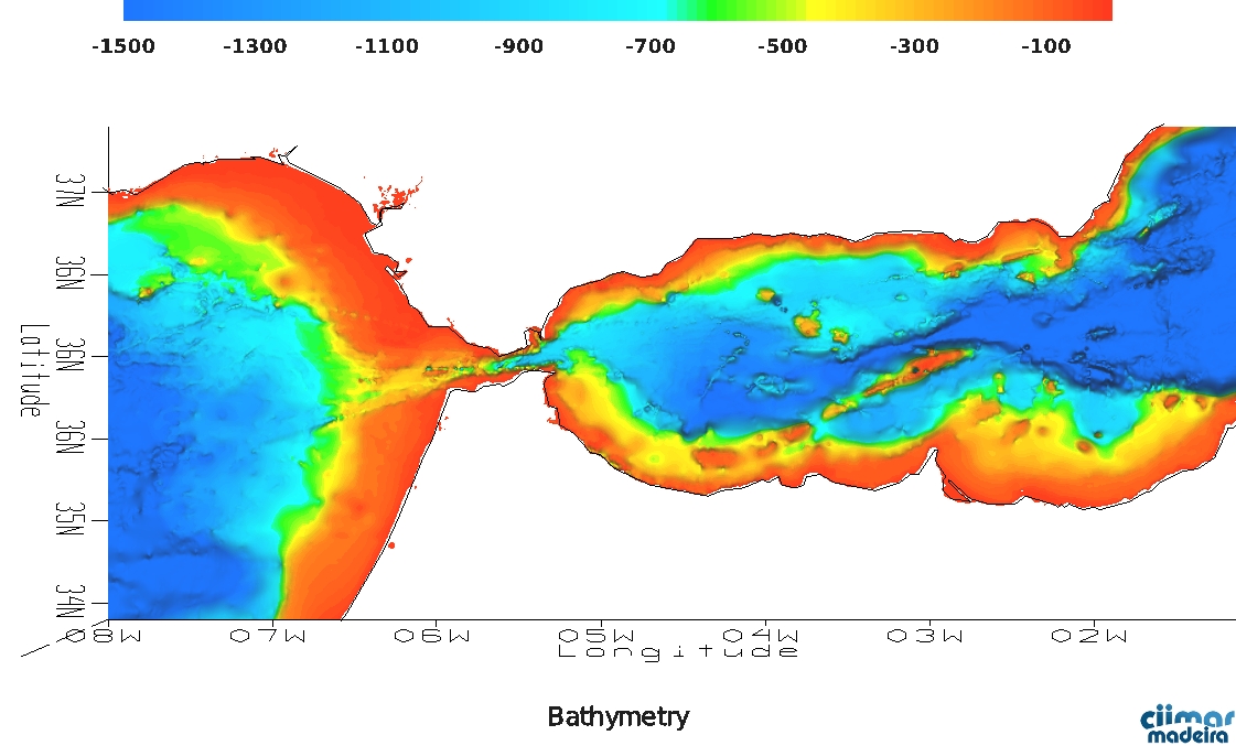
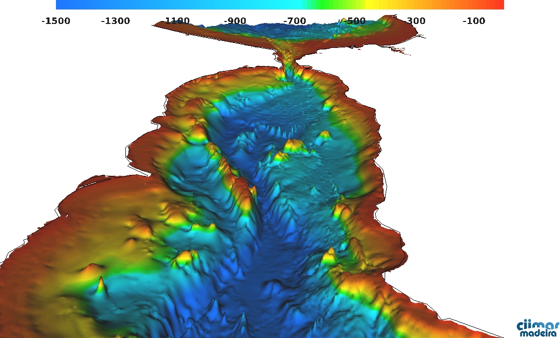
The MEGAN project (‘Sub- and meso-scale processes in the Strait of Gibraltar: The connection Trafalgar-Alboran’), will study the transport, dispersion and distribution of organisms and dissolved materials and particles, (including micro-plastics) in the connection between the Atlantic Ocean and the Alborán Sea. The project is based on observations, remote sensing and hydrodynamic and biological modeling. MEGAN is co-coordinated by Prof. Carlos Garcia and by Prof. Fidel Echevarría on the biology side and by Prof. Miguel Bruno and by Prof. Agueda Vazquez, on the physics side.
University of Cadiz (UCA) is the coordinating institution, but the team is composed by researchers from the ‘Consejo Superior de Investigaciones Científicas – CSIC’, ‘Instituto Hidrográfico de la Marina’, Malaga University, University of Southern California, ‘IEO-Instituto Español de Oceanografia’ , Monterrey Naval Research Laboratory and by the Joint Research Centre of the European Union. |
|

|
|

|
| Portuguese researchers from the Oceanic Observatory of Madeira (OOM) team-up with Brazilian colleagues from FURG (‘Federal University of Rio Grande’), to contribute with microturbulence measurements in the scope of this project. In this website we are compiling historical information and oceanographic forecasts to help plan the first in situ campaign. |
| Megan |