
Research Campaign OOM 2017


|
Research Campaign OOM 2017 |

|
Radar ObservationsNear Real Time data from two HF Radars installed at the Mariculture Centre of Calheta and Municipal Library of Câmara de Lobos. The radar is a CODAR SeaSonde Standard Range, with separate Transmit and Receive antennas, operating at 13.5 MHz. The data acquired has an average radial range of about 100km, and the system produces a new radial map each hour. |
B/O SOCIB Real-Time data from: http://seaboard.socib.es/vessel |
Remote Sensing Observations |
| Sea Suraface Temperature and Sea Surface Chlorophyll are MODIS products. Sea Level Anomaly and Sea Surface Currents are AVISO products |
| Sea Surface Currents | Sea Level Anomaly | Sea Surface Temperature | Chlorophyll-A |
| ← Previous | Next → |
|
|
Ocean Circulation Forecasts |
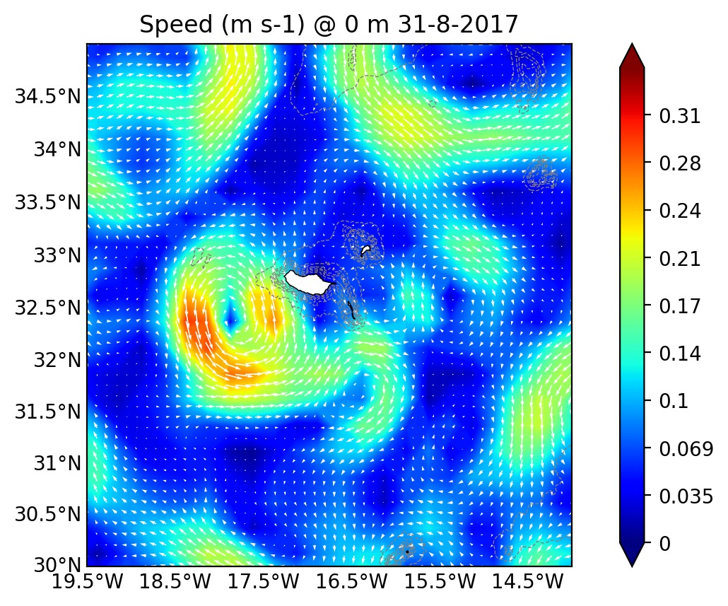
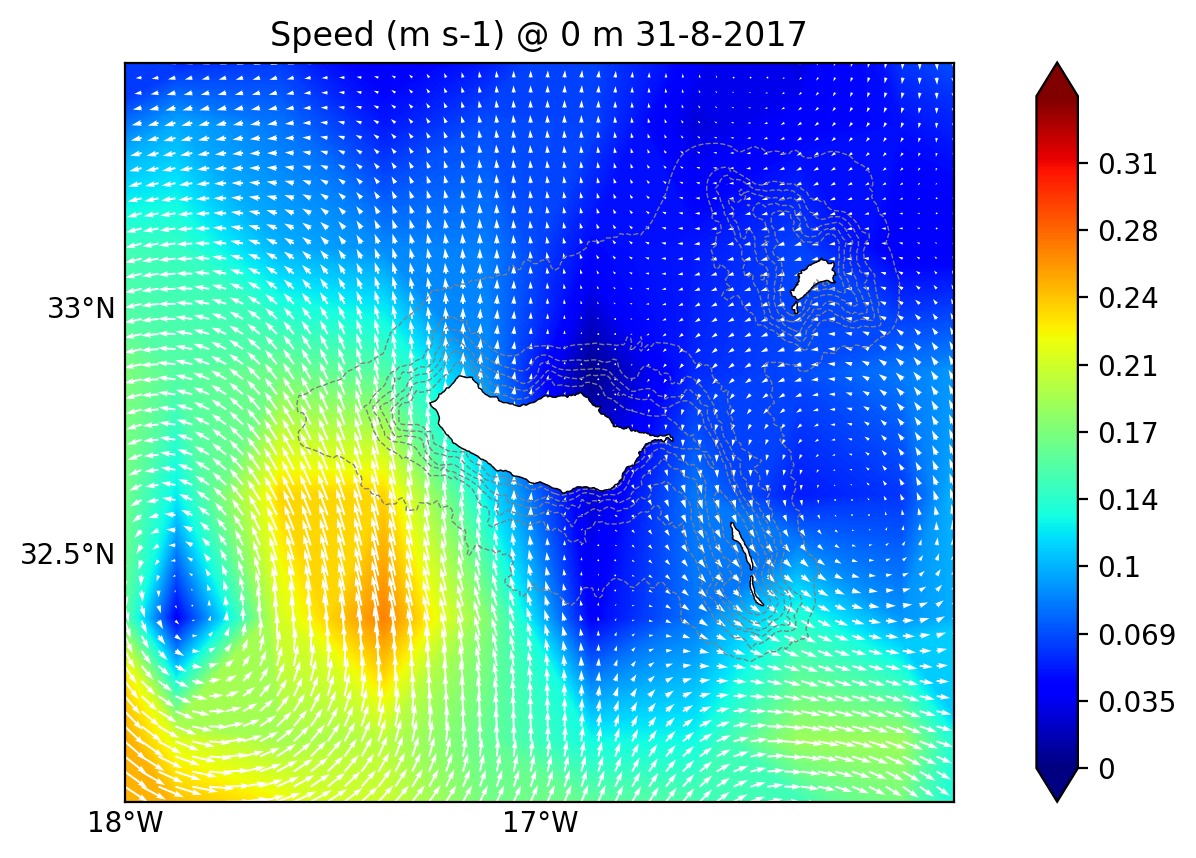
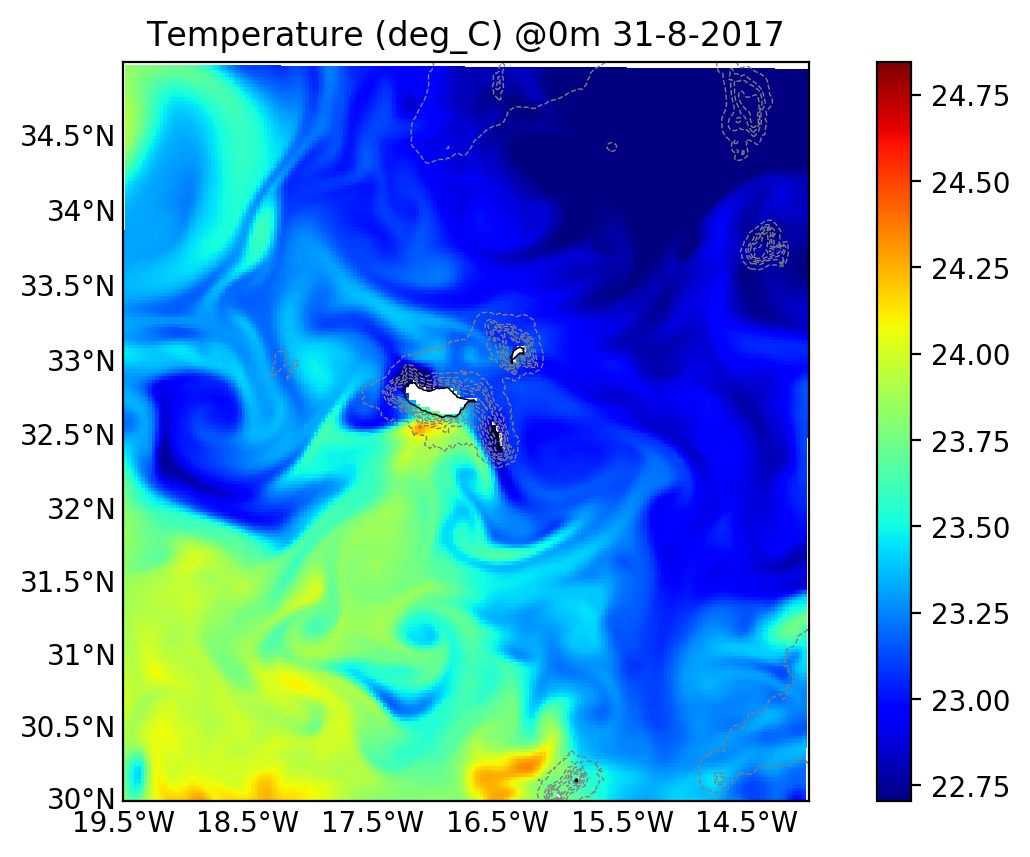
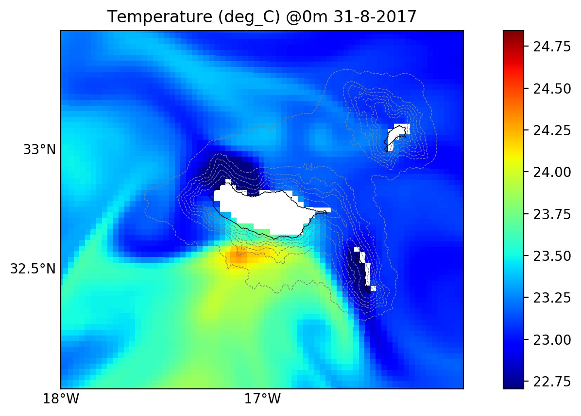
| MERCATOR IBIQV5R1 is an operational Global Ocean Circulation product, provided daily by 'myocean'. Variables are displayed over the bathymetric lines of 0-500m (each 100m); Plotted model variables include: i) Sea Surface Height (SSH); ii) Temperature; iii) Salinity; iv) ocean current vectors over flow speed. You can visualize maps in the approximate model-depths: 0,50,100,200,300,500,750,1000,1500,2000,2200 meters. |
| Temperature | Salinity | Speed & Vectors | Speed & Streamlines |
| Depth (m): |
| ← Previous | Next → |
|
|
COAWST ForecastCoupled Ocean Atmospheric Wave and Sediment Transport Modelling System (+info) | |||||
| ROMS - Salinity | ROMS - Temperature | ROMS - Speed (vectors) | ROMS - Speed (streamlines) | WRF - Temperature | WRF - Winds |
| ← Previous | Next → |
|
Depth: |
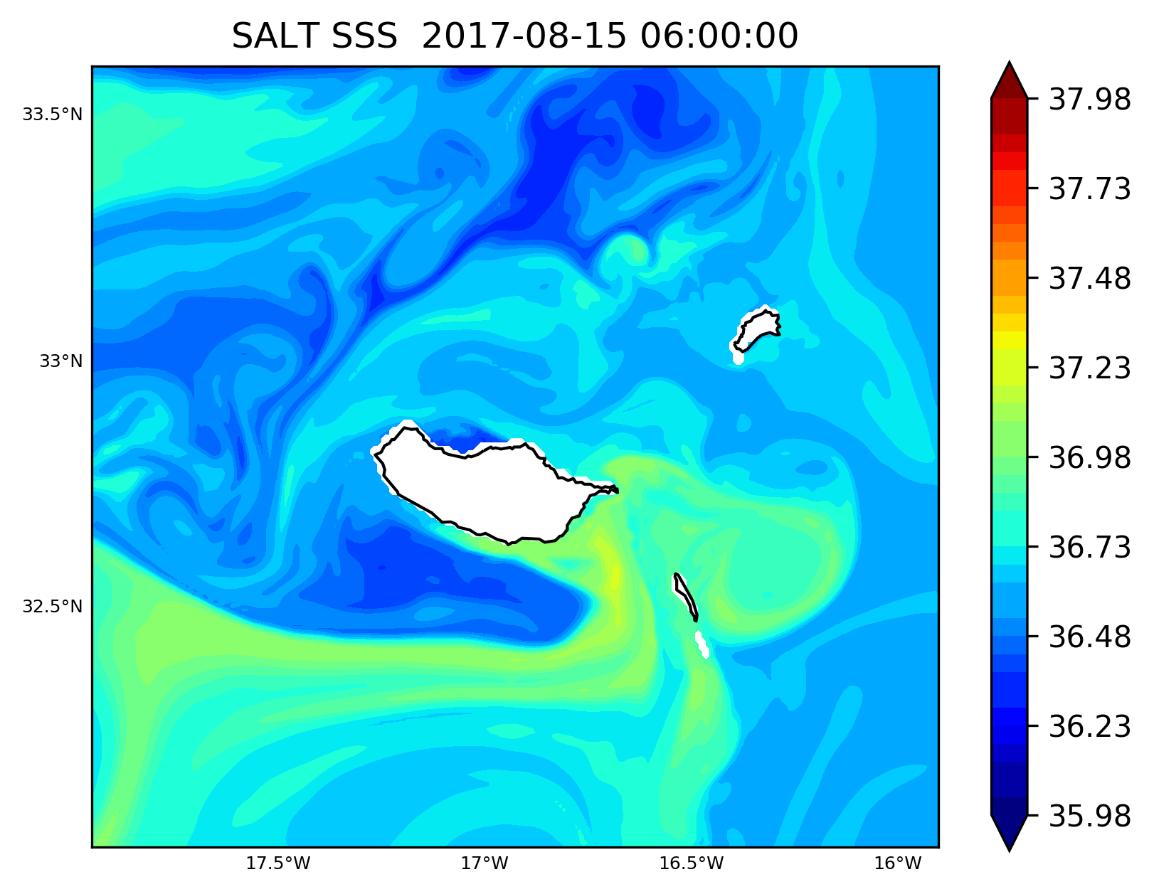
Forecasts from 20170821 |
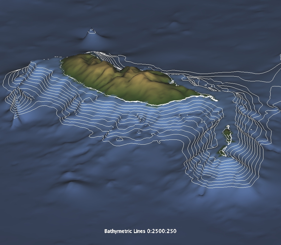
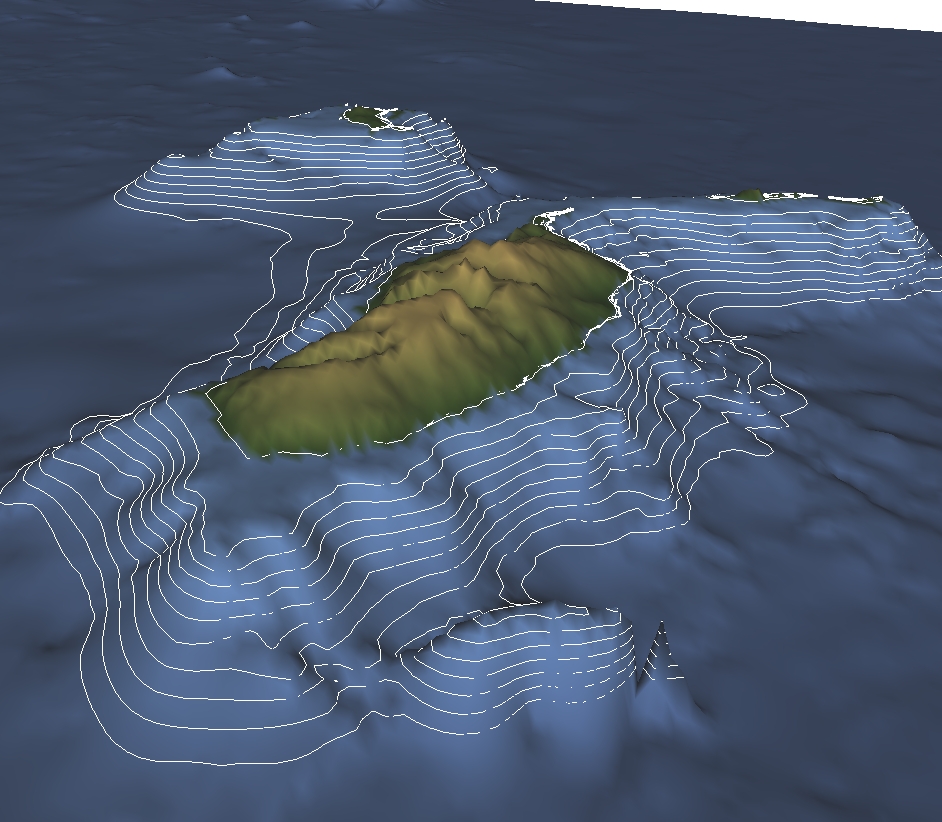
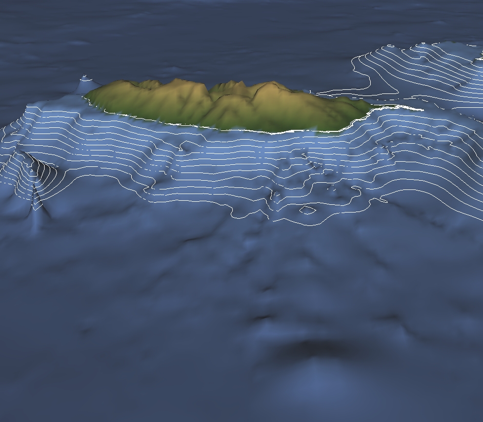
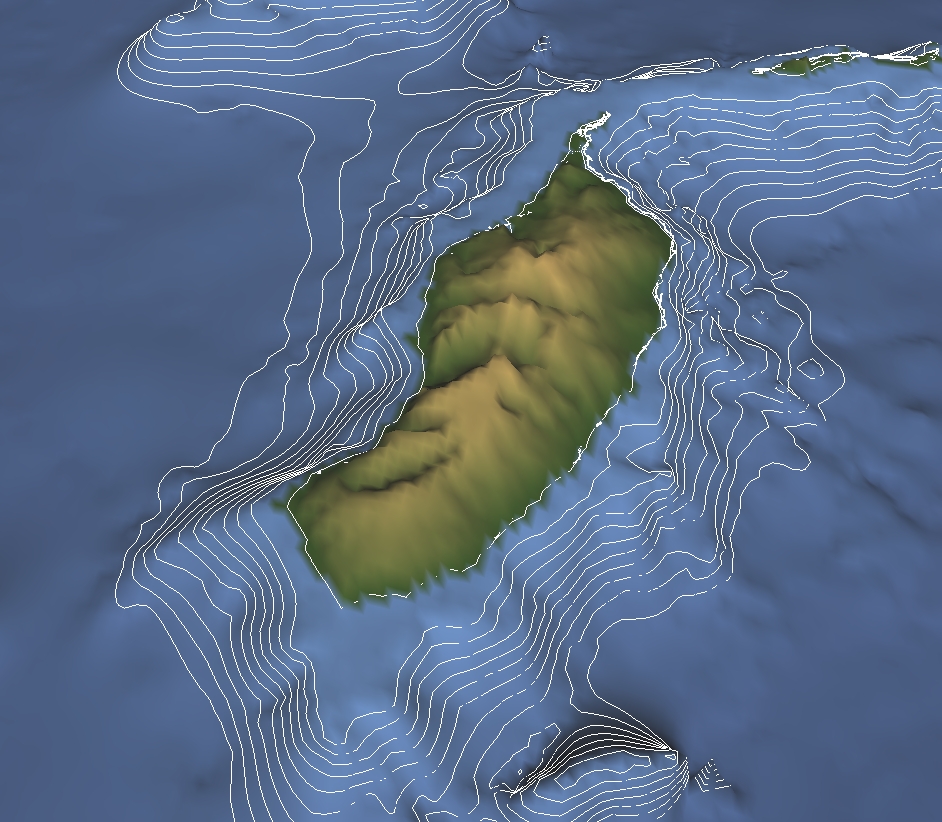
BathymetryBathymetric images extractes from SRTM-30 (30 arc-second resolution), displaying bathymetric lines from 0 to 2500m depth, every 250m. |
|
|
|
|

|
|
© 2025 Oceanic Observatory of Madeira | Developed by Carlos Lucas | Images: Carlos Lucas, Jesus Reis, Cátia Azevedo, Gustavo Silva, Rui Vieira |